
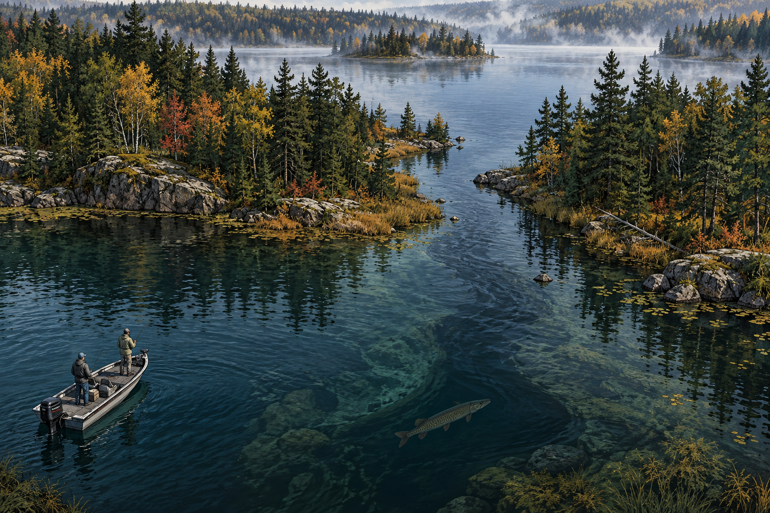
The map needs names. The fish does not.
A chain of lakes looks orderly on a road map. Each basin has a name, a shoreline, and often a familiar set of spots. That order helps people navigate and apply regulations, but it can quietly shrink the way an angler thinks. A channel that appears to divide two lakes may be a travel route. A river mouth may matter more than either name printed beside it.
Telemetry has made that larger neighborhood visible. In the St. Louis River estuary and southwestern Lake Superior, researchers tracked 60 adult muskellunge for 15 months. The fish tended to move upstream in spring, downstream and into Lake Superior during summer, and toward the middle river during fall and winter. Use of the system also differed by genetic strain and sex.
That study does not say every musky is a traveler, and it does not turn a Northwoods chain into Lake Superior. It establishes the important point: connected muskellunge habitat can function at a scale larger than one named basin.
Movement is real, but residency is real too
The useful correction is not to replace the resident-fish story with a roaming-fish story. Both can be true. A 17-year study using capture histories from nearly 5,700 adult muskellunge compared a simple lake with a complex interconnected glacial lake. Within the connected chain, annual movement probabilities among basins ranged from 0.02 to 0.22. Annual emigration ranged from 0.02 to 0.16 in that chain and from 0.00 to 0.28 in the simple lake.
Those ranges are wide enough to matter and modest enough to resist exaggeration. Some fish moved. Many did not move during a given interval. The probabilities also changed with the system and conditions, including water levels after ice-out.
An angler should therefore carry two working possibilities at once. The fish that used a bay last week may still be nearby. It may also have crossed a connection into a different basin. A blank return trip cannot distinguish those possibilities by itself.
A doorway is habitat, not empty water
Channels, neckdowns, outlet reaches, river mouths, and basin saddles are often treated as distance between spots. On connected water, they deserve to be evaluated as spots with jobs. A doorway can concentrate current, gather drifting forage, offer a depth change, or connect a warming basin to cooler water.
The job can change through the year. Spring movement may pull attention toward upstream reaches and spawning areas. Summer heat can make cooler inflows or deeper connected water more valuable. Fall forage movement can put a transition back into play. None of those possibilities provides a universal calendar because depth, flow, barriers, dissolved oxygen, prey, and the geometry of the connection differ among systems.
The practical question is not simply whether a connection exists. Ask whether a musky can pass it, whether useful habitat lies on both sides, and what present condition could make the route worth using.
Temperature can close one door and open another
Connected water matters most when it links meaningfully different conditions. A Potomac River radiotelemetry study found the greatest musky movement in spring and reduced movement in summer, fall, and winter. During thermally stressful summer periods, fish used thermal refuges and movement largely ceased. The researchers predicted that more than half the tagged fish habitually occupied refuge areas at a daily average of 24 degrees Celsius, or 75.2 degrees Fahrenheit, and more than 90 percent did so at 26 degrees Celsius, or 78.8 degrees Fahrenheit.
Those numerical thresholds came from one southern river system. They are not universal closure numbers for northern lakes, and they should not be transplanted into a different fishery as a precise rule. The durable lesson is about contrast: a tributary, spring area, shaded reach, or deeper basin can become disproportionately important when the main waterbody becomes stressful.
A separate year-long reservoir study also found evidence of muskellunge selecting thermal refuges while moving substantial distances over the year. Together, the studies support tracking temperature differences among connected areas rather than recording one surface reading as if it represents the entire system.
Fish the system in layers
Start with the basin where recent evidence is strongest, but reserve part of the day for the route out. Fish one holding area, one transition leading toward a connection, and the connection itself. If another basin is within practical reach, sample its first useful habitat rather than racing to its most famous spot.
This sequence tests three different states: resident fish holding in known habitat, fish staging near a doorway, and fish that have already shifted. It also avoids a common failure in connected water, spending the entire day repeating history in one basin while every blank pass is interpreted as bad timing.
Keep the lure and retrieve class consistent long enough for location to be the main variable. If every basin receives a different presentation, a contact will be difficult to attribute to place, movement, or lure choice.
Build a doorway ledger
Choose one connected system and identify three doorway types before fishing: a visible channel, an inflow or outflow, and a subtler basin transition. Give each doorway a fixed observation window on repeated trips. Record blank effort as carefully as follows and strikes.
For every pass, store the basin fished before and after, time, water-level trend, surface temperature on both sides, current direction and strength class, wind, clarity, forage observed, vegetation condition, lure path, contact location, and the direction the fish appeared to travel. When safe and legal, note whether the route was physically passable at the observed water level.
The theory gains support if contacts cluster at particular doorways under repeatable conditions or if contacts shift from one side to the other in a consistent seasonal sequence. It loses support if the doorway performs no better than comparable habitat, if forage explains the contacts more cleanly, or if individual fish repeatedly remain in one basin.
The boundary still matters to people
A fish may cross a map label, but anglers remain responsible for every rule that changes across waterbody, county, tribal, state, or international boundaries. Season dates, size limits, harvest rules, motor restrictions, access hours, and bait regulations can differ even when the water is physically continuous. Verify the rules for every section you plan to fish.
Physical connection also does not guarantee biological connection. Dams, perched culverts, shallow bars, low water, dense vegetation, temperature barriers, poor oxygen, or unsuitable habitat can stop or discourage movement. A line on the map may be meaningless to the fish, while an unmarked barrier may be decisive.
The useful habit is to separate the name from the evidence. Keep lake names for communication. Build the fishing pattern from passage, conditions, habitat, forage, and repeated contacts.
The larger map should earn its place
Movement studies expand the search area, but they do not authorize random running. The St. Louis River study documented seasonal patterns and differences among groups. The interconnected-lake study found probabilities that varied through time and with water level. The Potomac study showed that heat could sharply reduce movement as fish occupied refuge areas.
Those findings argue for a conditional map. Open it when the system is passable and when season, water level, temperature, current, or forage gives a reason to expect movement. Close it when repeated evidence supports residency or when a barrier makes the connection irrelevant.
The point is not that the fish is always somewhere else. The point is that the name at the boat ramp is not proof that it stayed.